Regional land settlement and planning
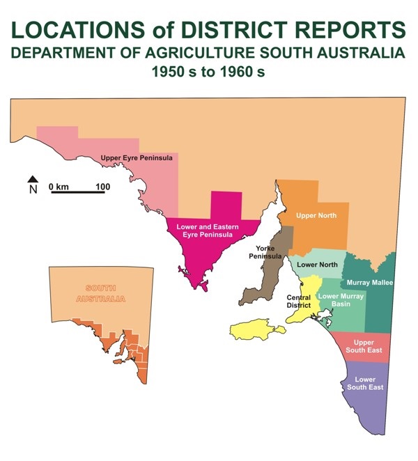
Click on the map below to open PDF reports describing South Australia's agriculture during the 1950s and 1960s.
This series of reports is also provided as links below the map.

Regional land settlement reports
Regional land settlement reports
Land use planning
In 1990, the South Australian Government appointed a working party in response to community issues raised about the urbanisation of rural land. The United Farmers and Stockowners had expressed concern about loss of primary production land.
The following reports identify factors that can influence and contribute to changes in rural land use, such as the alienation of rural lands:
